UAV LiDAR Topography for Active Gravel Mine Permit Renewal
Client
MDA Consulting Engineers - Ellicottville, NY
Project Overview
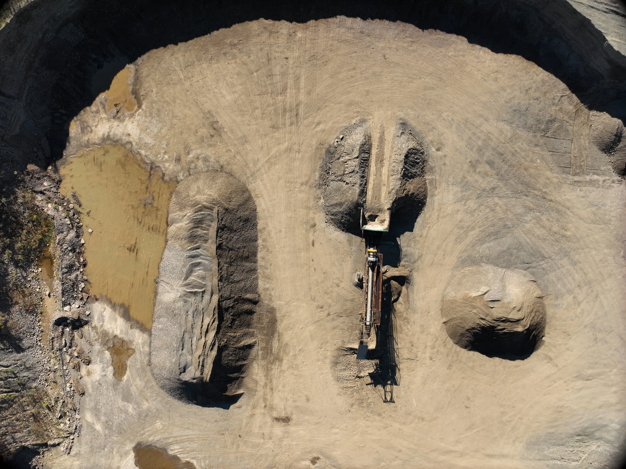
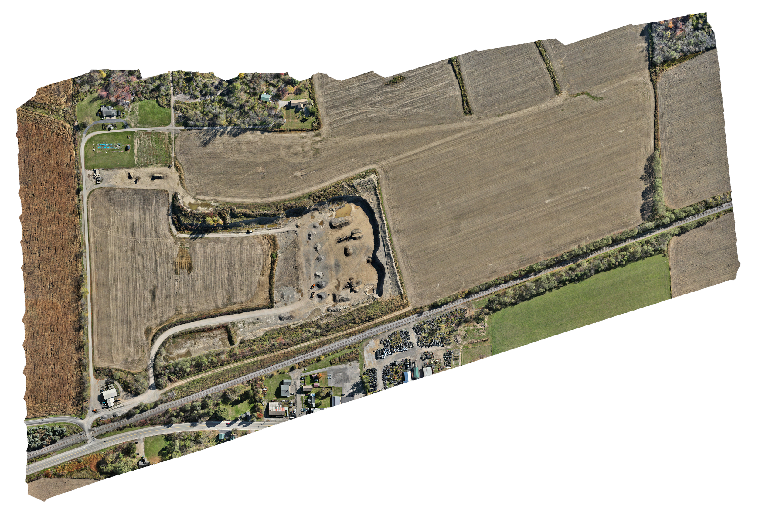
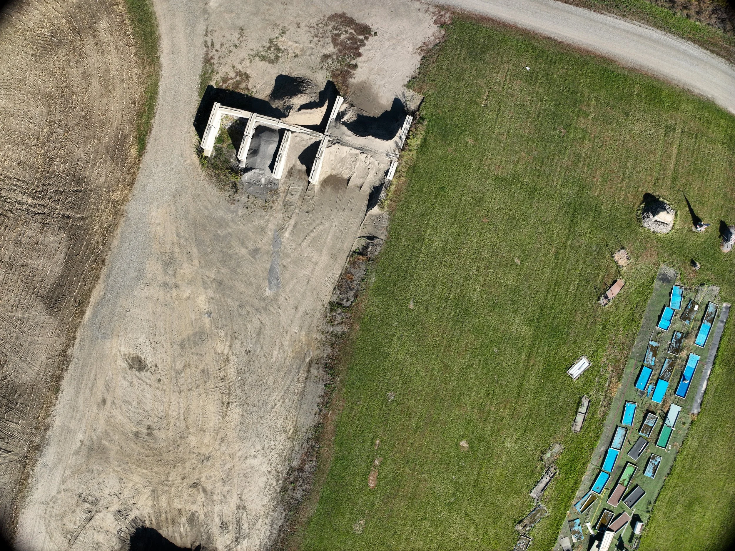
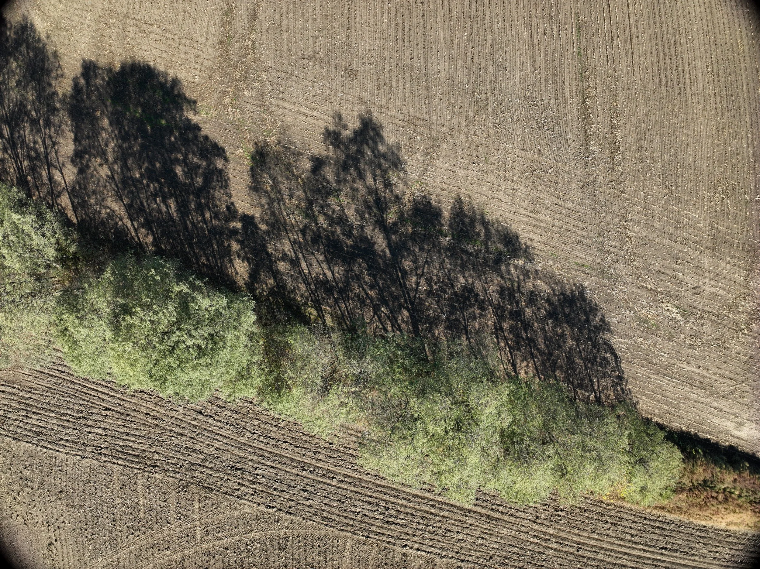
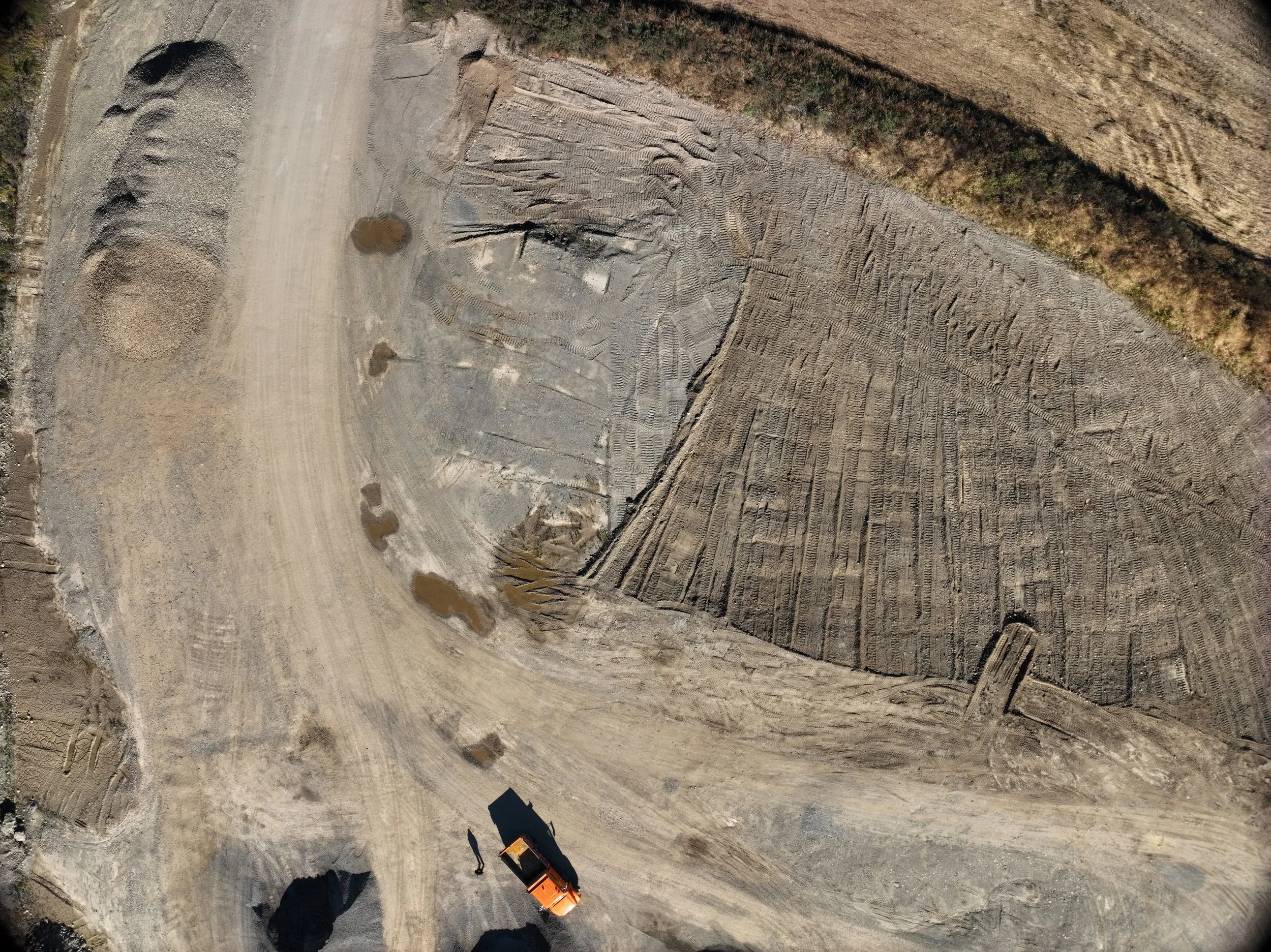
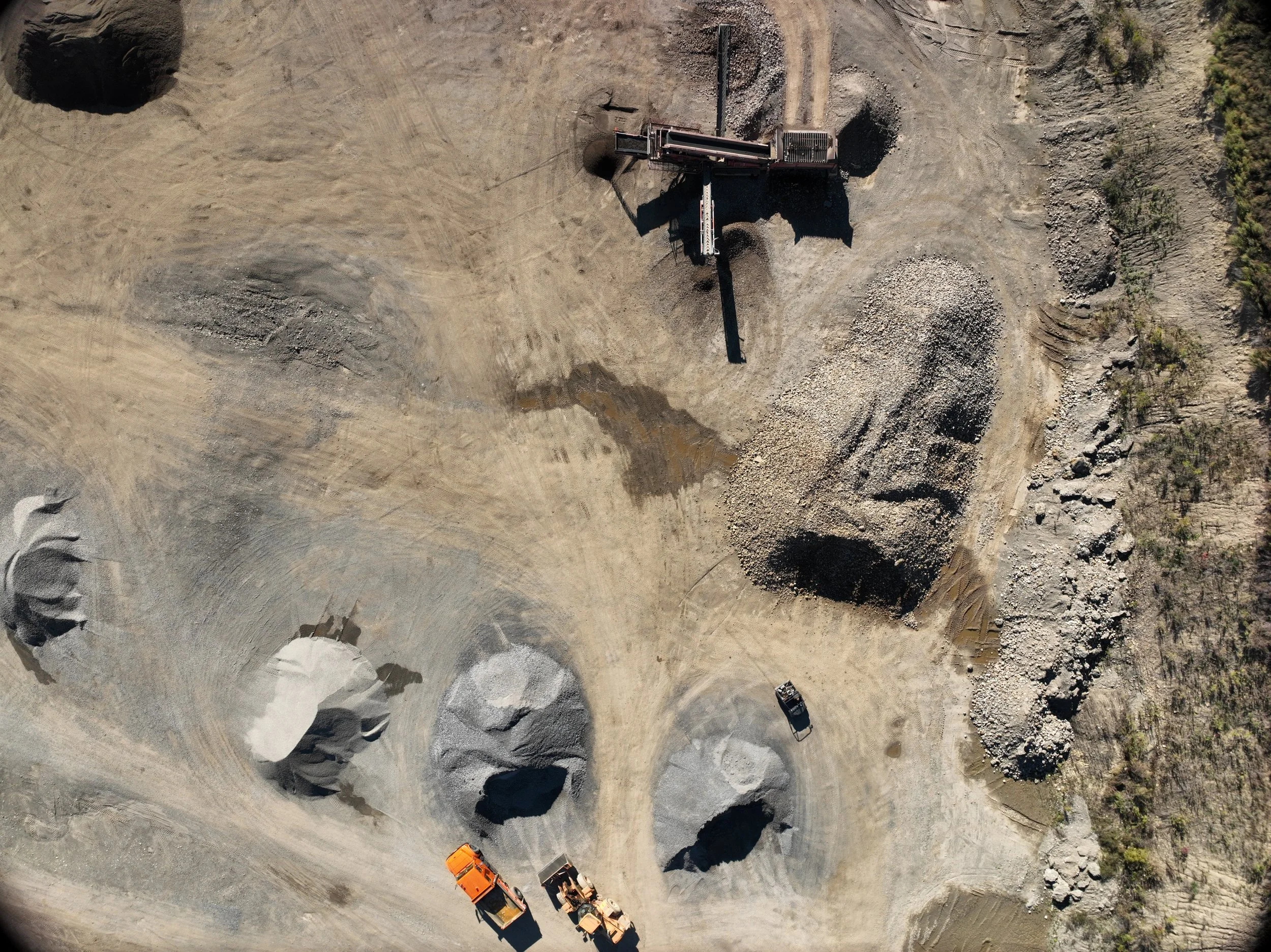
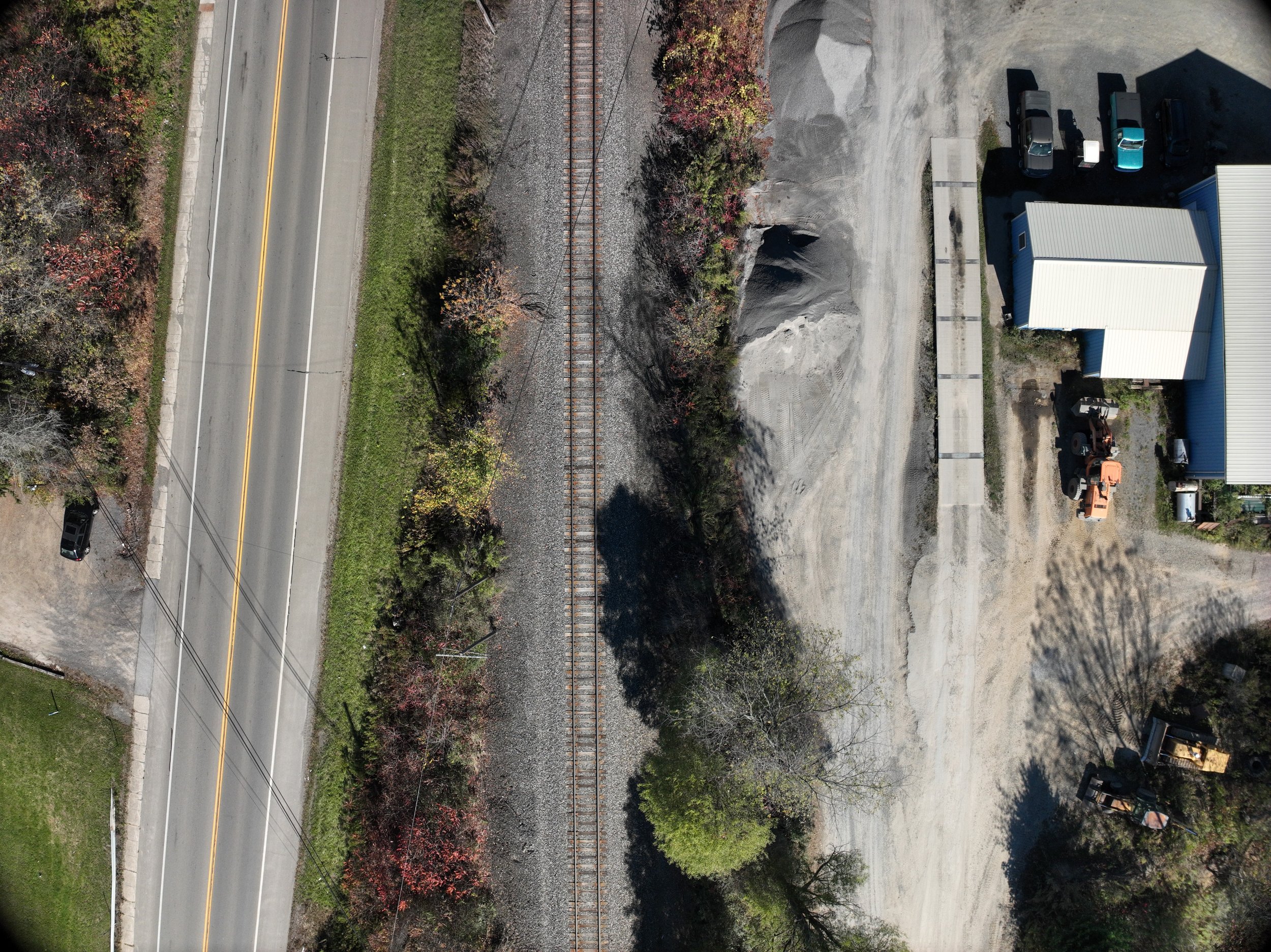
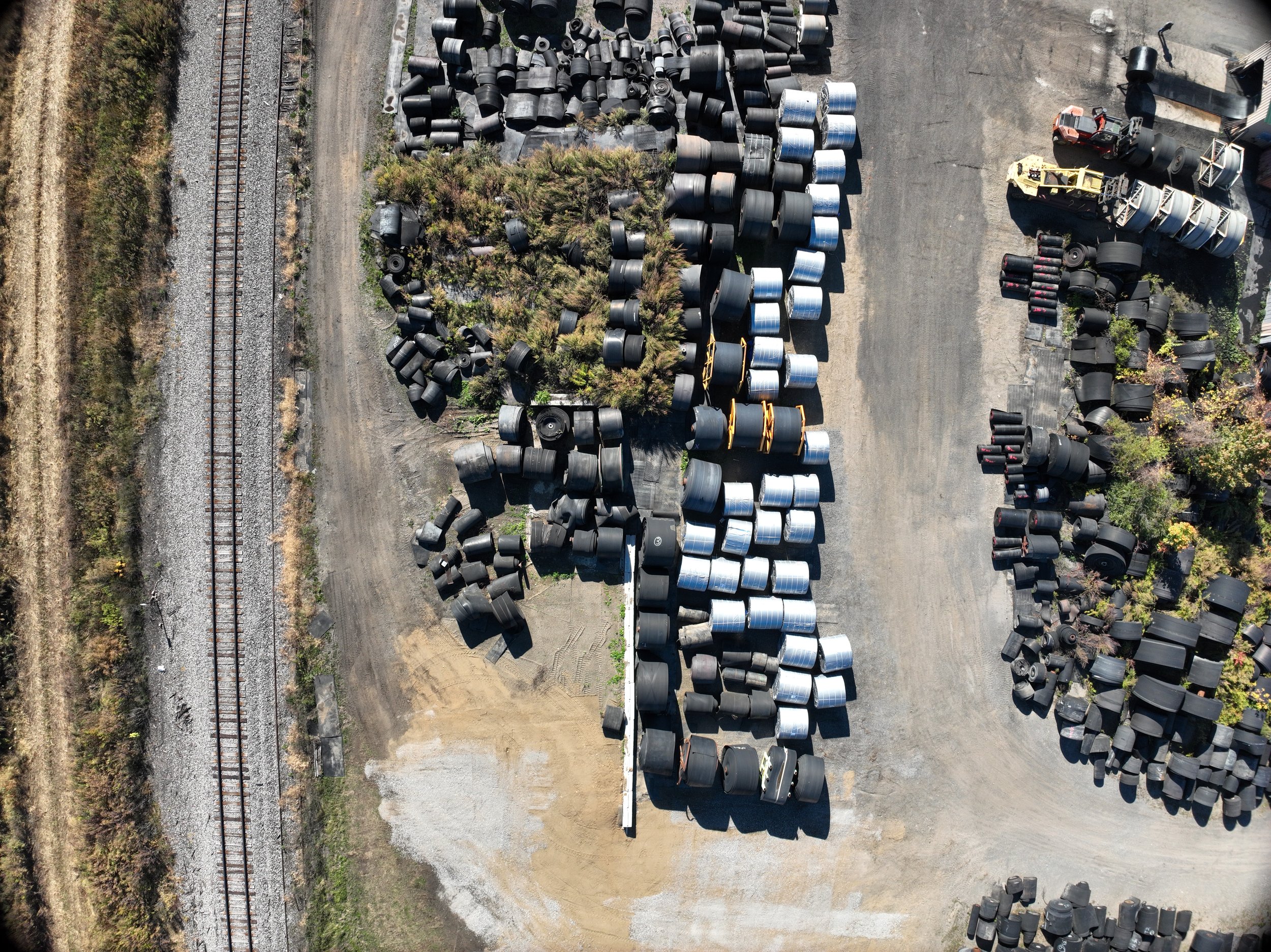
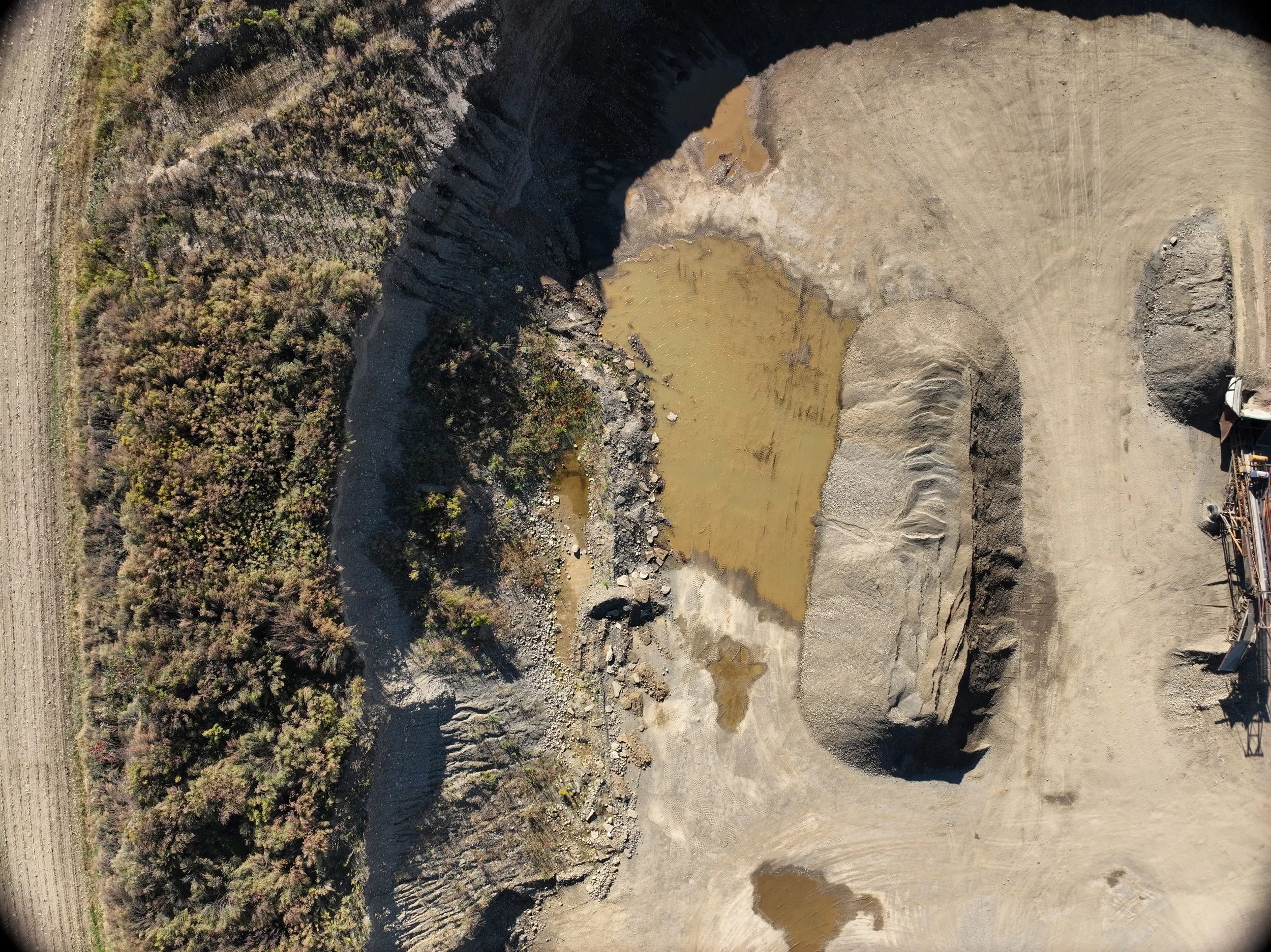
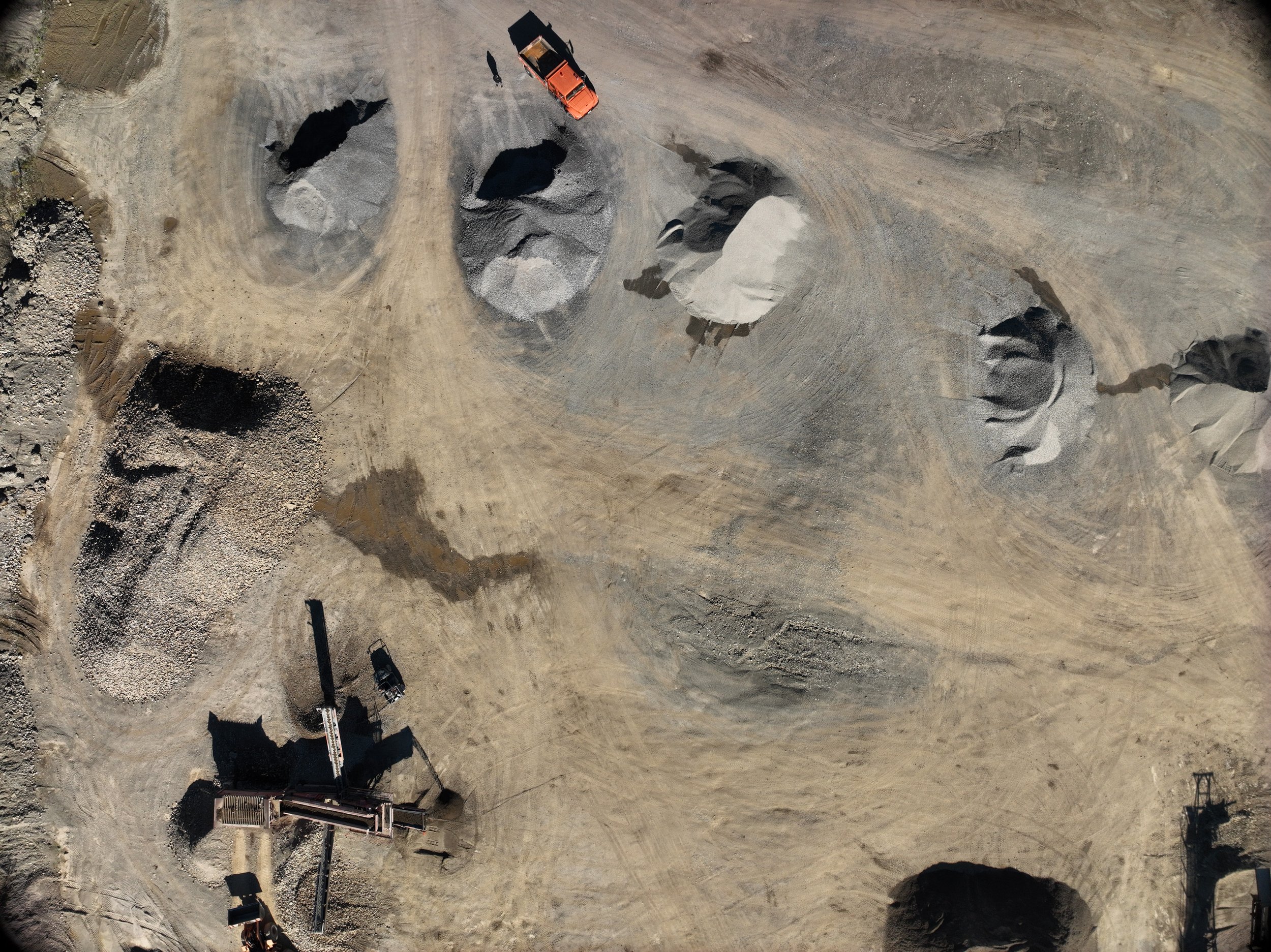
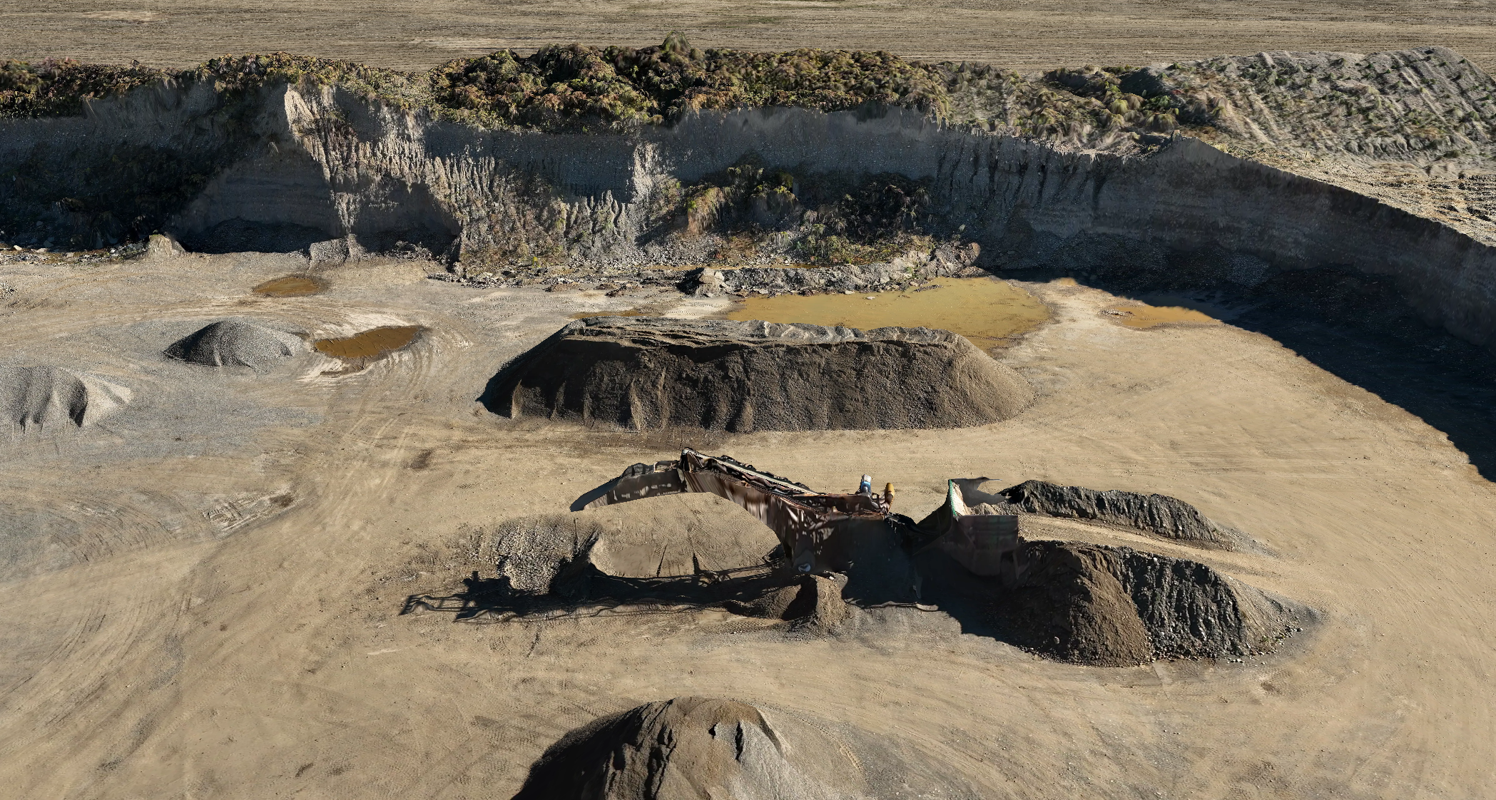
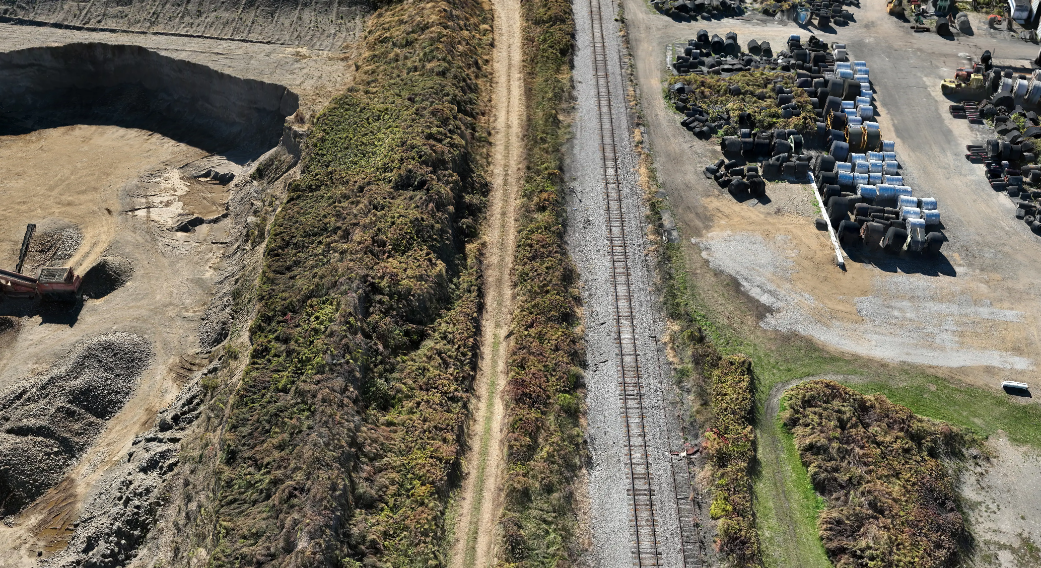
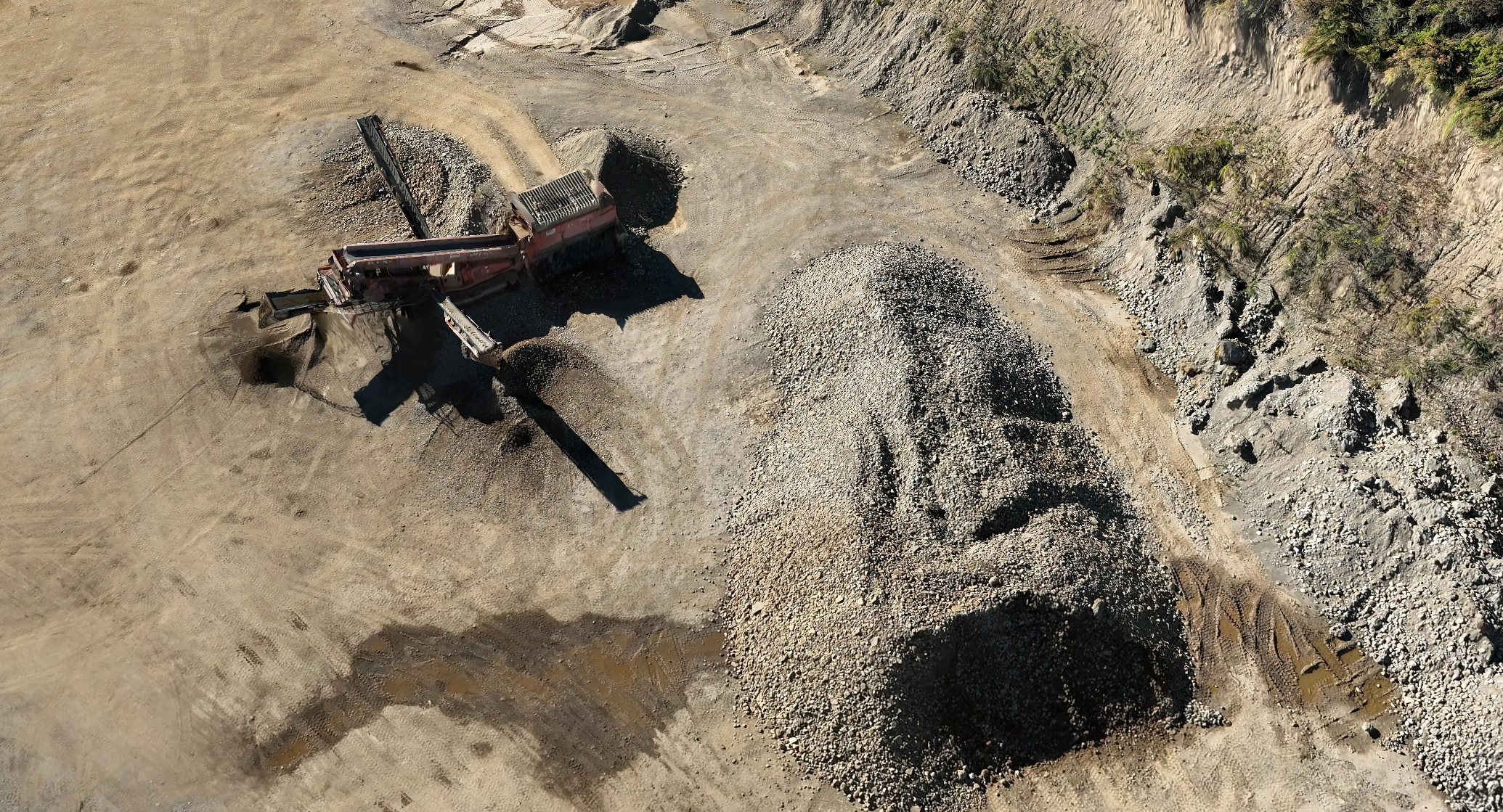
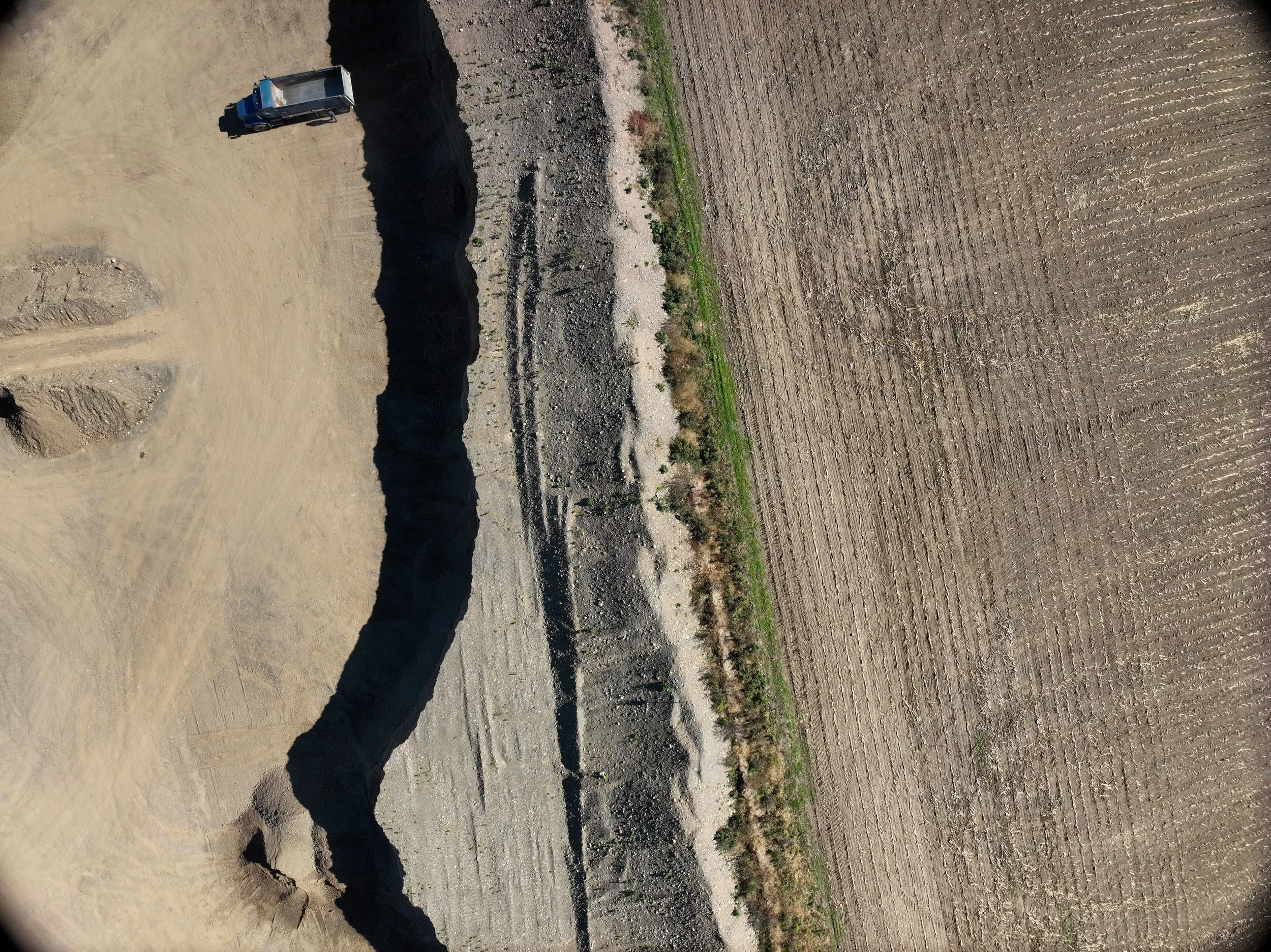
During a mine permit renewal application process, MDA Consulting Engineers required accurate topographical data for an approximately 70-acre active gravel mine. The site was operational, time-sensitive, and presented safety and access challenges that made traditional ground-based surveying inefficient and risky. The goal was to collect high-quality topographic data quickly so the permit application could be completed on schedule.
The Challenge
Traditionally, MDA Consulting Engineers would collect this type of data on foot using a GPS rover. For this site, that approach posed several issues:
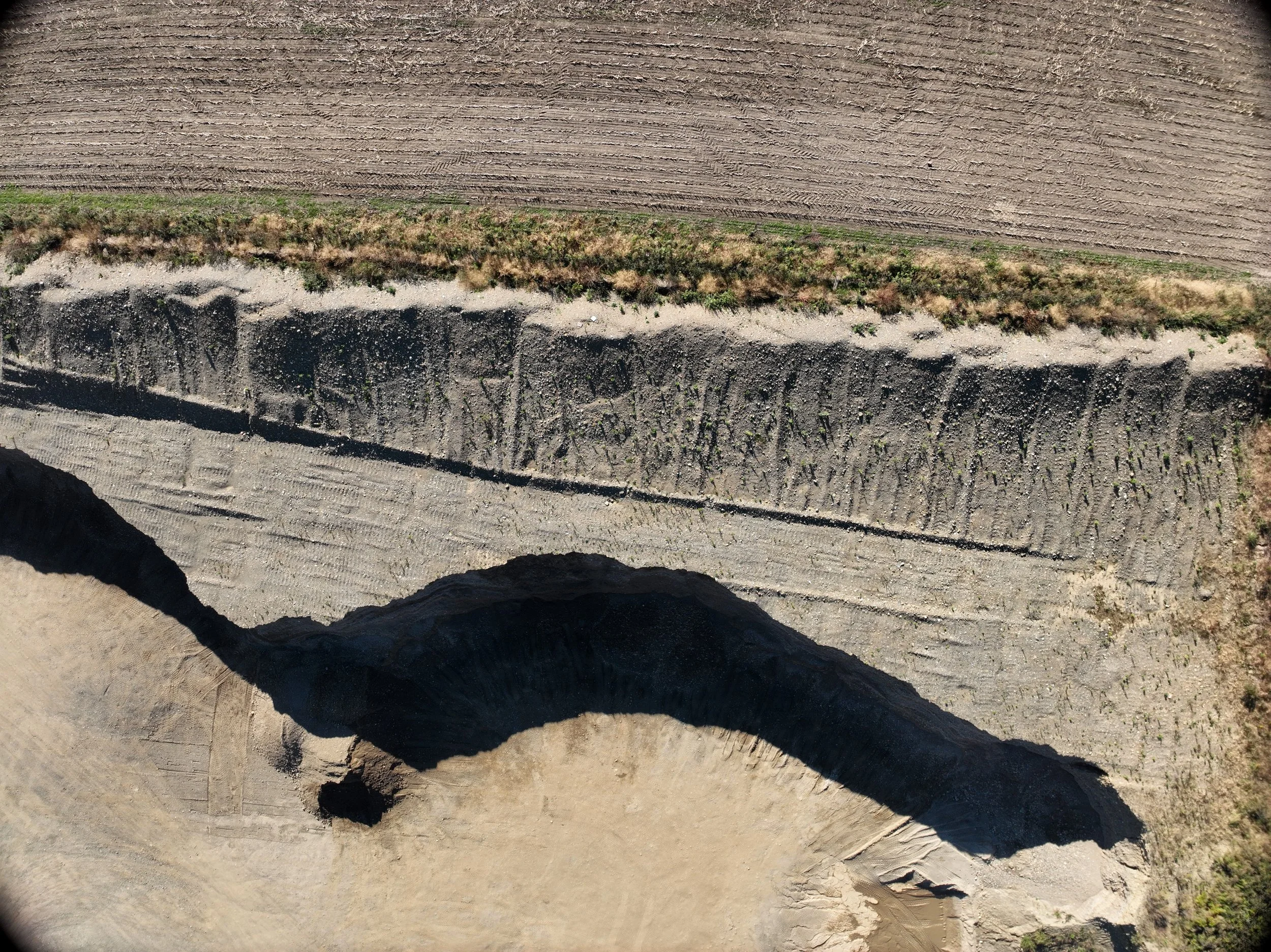
Unstable and uneven ground conditions
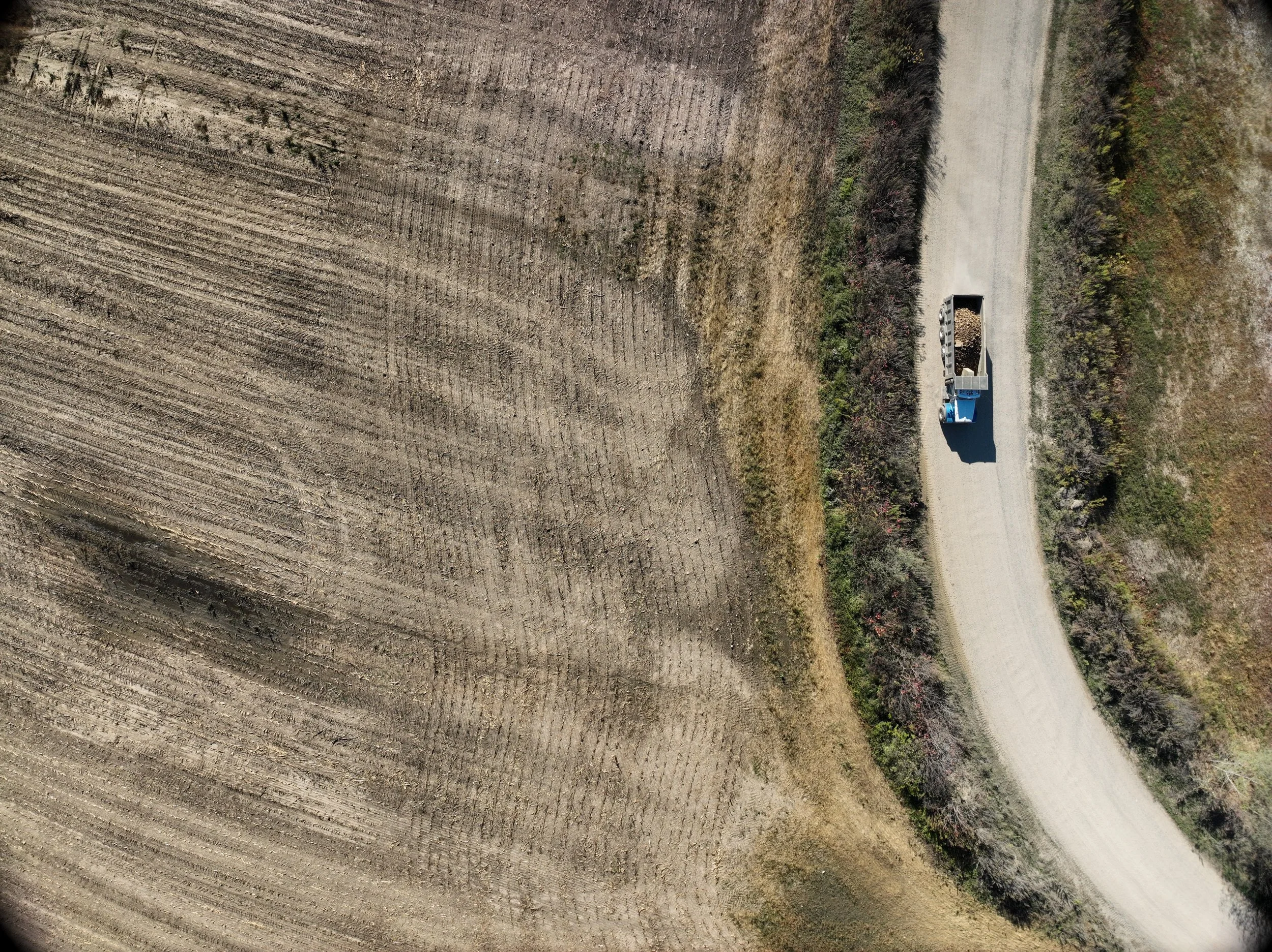
Active vehicle traffic throughout the mine
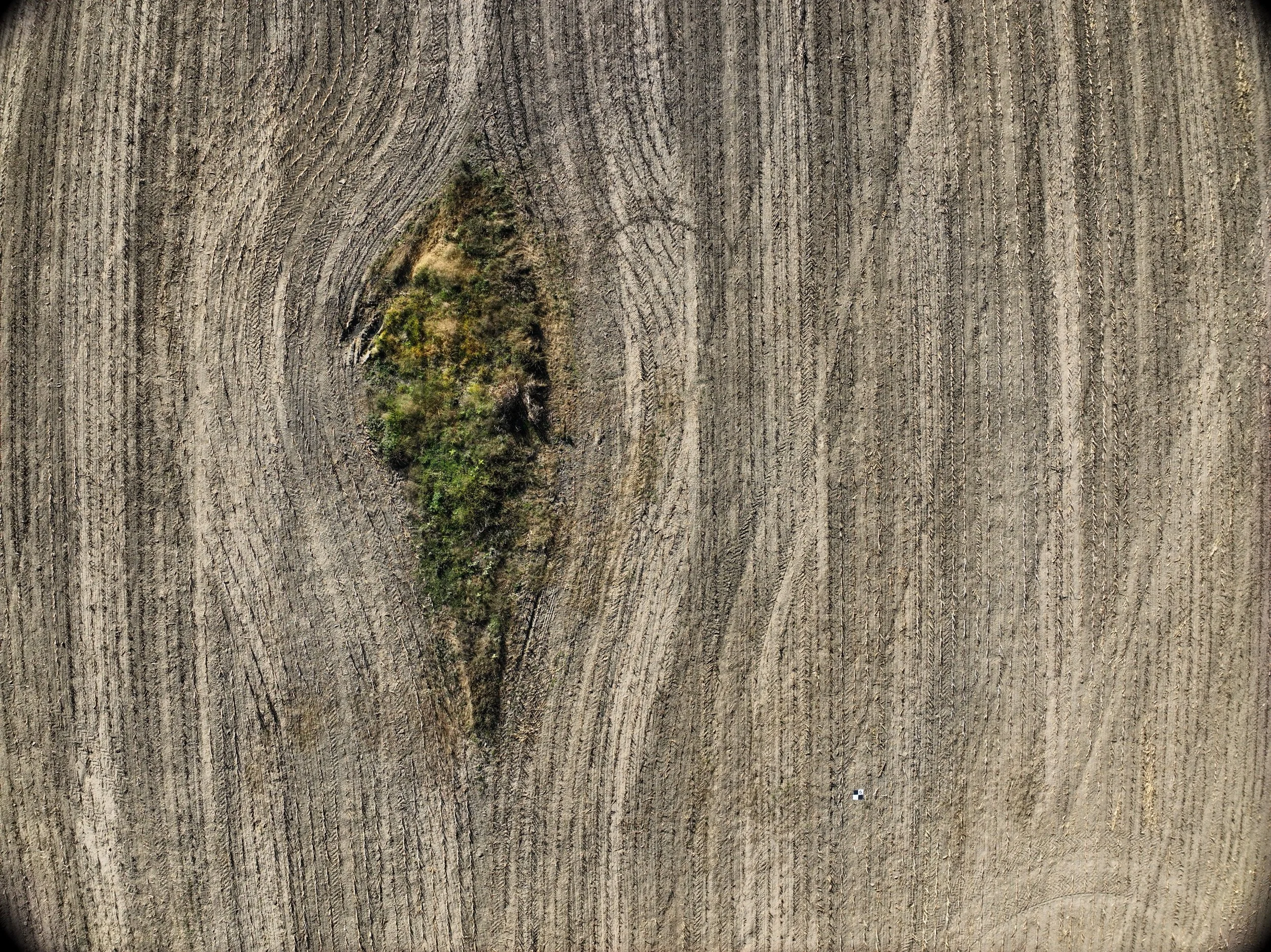
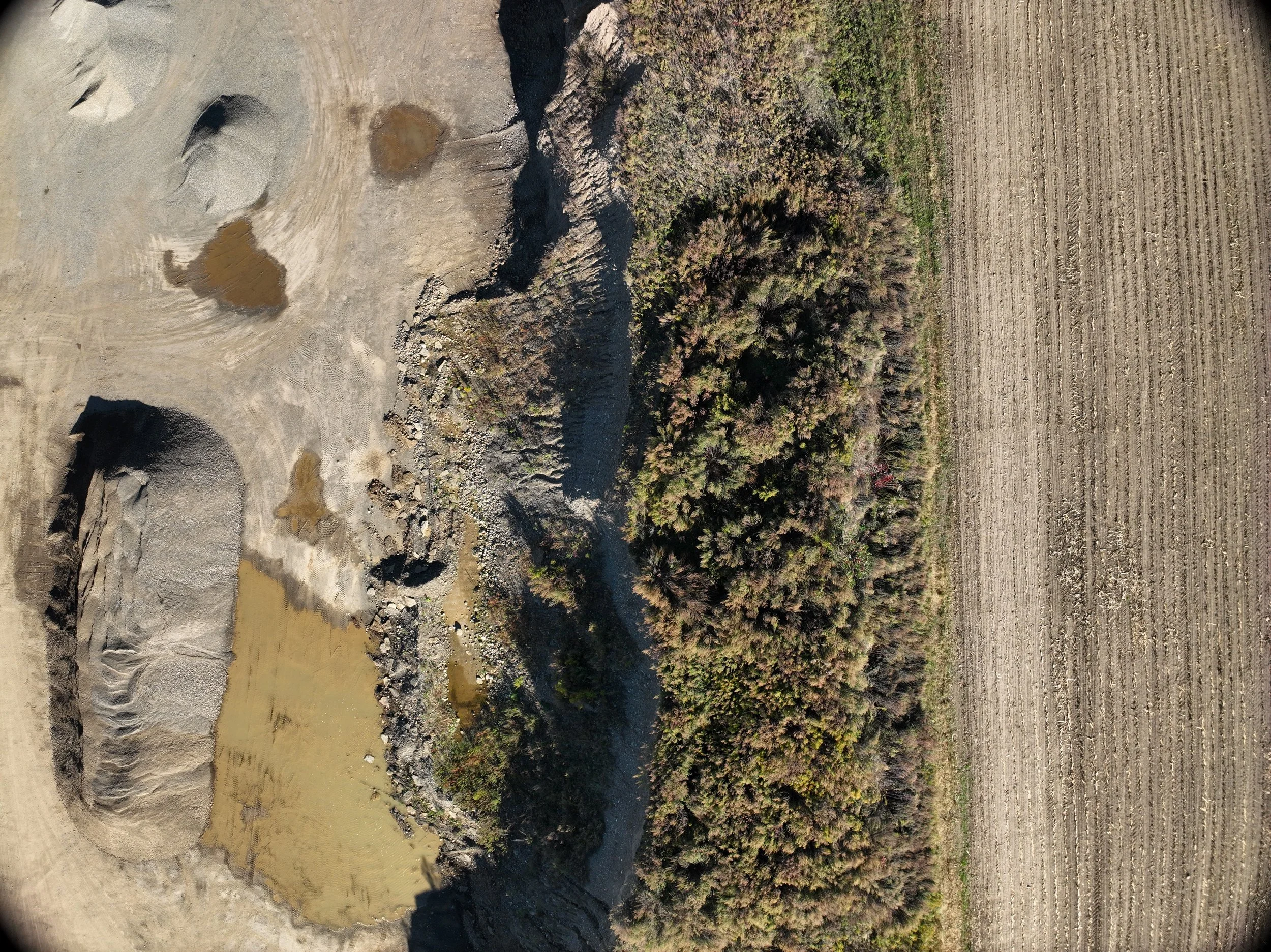
Irregular terrain, steep mine faces, and multiple stockpiles
Significant time required to safely access and measure all areas
“It was going to take many hours and considerable risk to accurately measure the mine face and all material stockpiles.”
With a tight deadline and safety concerns top of mind, a different approach was required.
Why a Drone-Based LiDAR Approach
DronePoint was selected to perform a UAV-based LiDAR mapping mission as a safer and faster alternative to recording ground shots.
“Hiring DronePoint to do a LIDAR scan from an unmanned aerial vehicle was the ideal solution from a time and safety perspective.”
In addition to safety and efficiency, cost was a deciding factor:
“It turned out to be very cost-competitive as well. DronePoint provided options in their cost estimate that we could tailor to our needs and budget.”
DronePoint’s responsiveness, flexibility, and ability to meet the project schedule further reinforced the decision.
Our Approach
DronePoint worked closely with MDA Consulting Engineers to plan and execute the LiDAR scan efficiently.
Prompt communication and rapid scheduling
Flights planned and pre-programmed in advance
Onsite coordination with MDA staff
On the day of data collection:
MDA established ground control points using their GPS equipment
DronePoint handled site logistics and transportation
The UAV conducted systematic LiDAR flights across the full 70-acre site

“The flight day was seamless. We met Nick onsite, and his drone crisscrossed the site in the sky for about two hours.”
Deliverables
Within one week of data collection, DronePoint delivered:
Full-color LiDAR point clouds
Point files at varying resolutions based on project needs
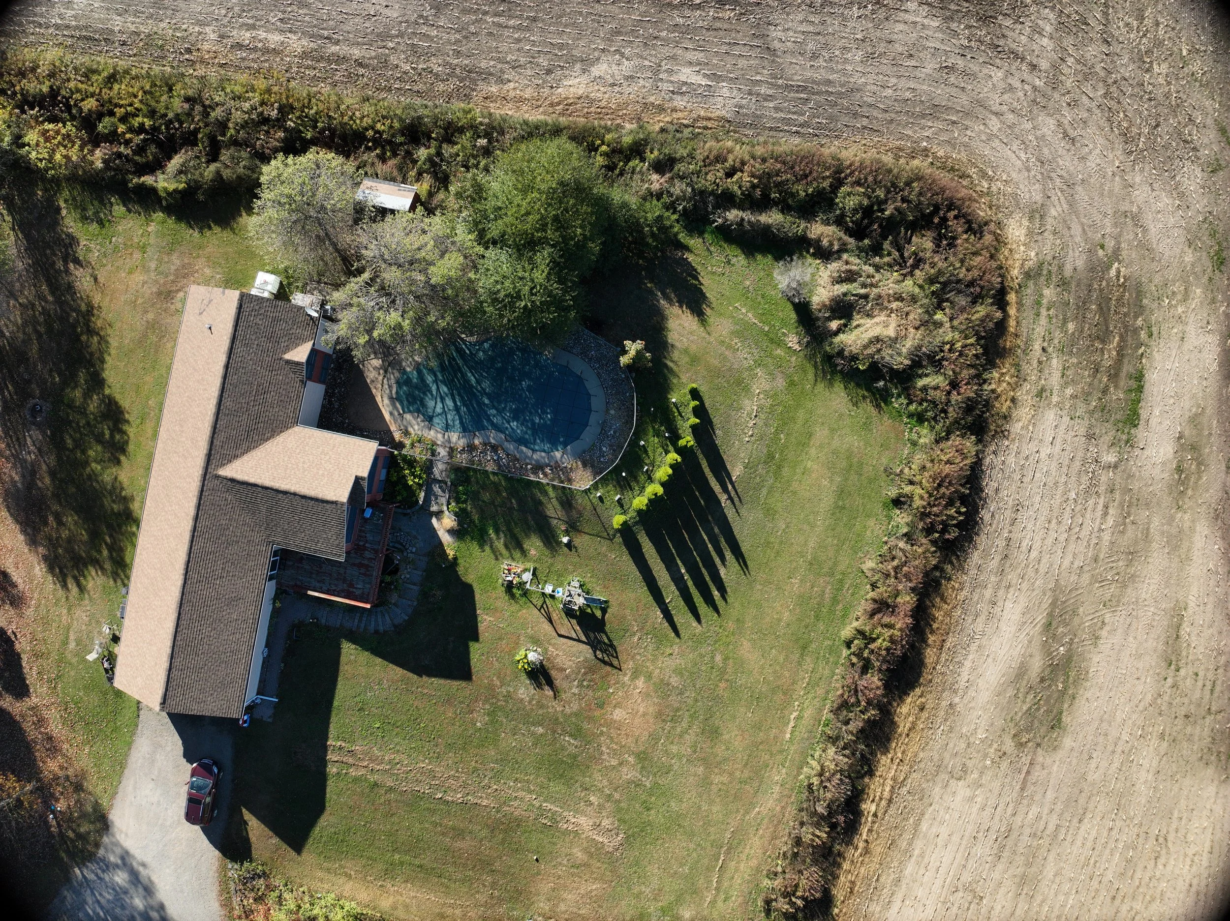
High-resolution aerial imagery
“Within a week of data collection, we had full-color point clouds to review in remarkable detail.”
Additional support was provided when needed:
“Nick also provided assistance when we had difficulty importing the point files into our CAD model.”
Results & Impact
The UAV LiDAR data delivered significant advantages over traditional ground-based methods:
Safety: Eliminated the need for ground crews to traverse unstable terrain and active work zones
Time savings: Data collection
“I would recommend DronePoint to anyone looking for a fresh LiDAR scan of a large site, especially a tricky one like a gravel mine. Their cost was far less other regional lidar providers, and they were quick and responsive. The resulting topo was more detailed than anything we could have produced ourselves using ground GPS equipment, and we were able to complete the permit application on time and within budget.”