Frequently Asked Questions
General Information
Don’t see your specific question here? Go to our contact page and reach out to us with your question. You probably aren’t the only one with that question and we would be happy to listen to you regarding your project or problem and help find the right solution for you.
-
DronePoint is based in Buffalo, NY and serves the Western New York region — but we’re not limited to it. We travel for the right project. If you have something outside our area, reach out and we’ll see how we can help. Have drone, will travel!
-
DronePoint offers the following services:
• Aerial LiDAR Scanning
• Photogrammetry & Orthomosaic Mapping
• Topography Mapping
• Construction Progress Monitoring
• Brick/Façade Documentation & Inspection
• Roof Documentation
• Thermal Inspection
Don’t see what you’re looking for? Reach out and tell us what problem you’re trying to solve. We’ll work with you on a solution.
-
At DronePoint, LLC, we are problem solvers, not service pushers. If you are not sure what service you need or even if drone technology is the right service for your project, reach out to us and we will explore your problem together and help figure out the right solution for you, regardless if that includes drones.
-
If drone services are the right fit, we’ll work with you to identify the best approach. Some projects require aerial LiDAR for precise, measurable 3D data. Others are better served by high-resolution photogrammetry imagery or thermal scanning. We’ll ask the right questions and recommend what makes sense for your specific situation.
Licensing, Compliance, & Insurance
-
Yes. All DronePoint pilots hold FAA Part 107 Remote Pilot Certificates, which are required by federal law for commercial drone operations. We also carry commercial aviation liability insurance covering bodily injury and property damage. You can learn more about our compliance and safety standards on our Compliance page.
-
Yes. DronePoint is fully insured for commercial drone operations with aviation liability coverage tailored to professional UAS services. This includes coverage for bodily injury and property damage arising from flight operations. We’re happy to provide a certificate of insurance for your project if required.
-
Yes. Depending on your project location, flight operations may require airspace authorization from the FAA. We handle all airspace verification, authorization requests, and altitude compliance as part of our standard process — you don’t need to manage that yourself.
Services
-
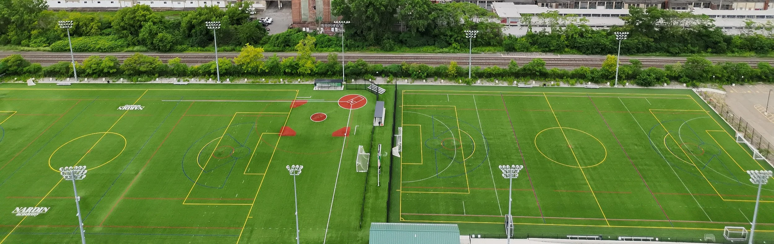
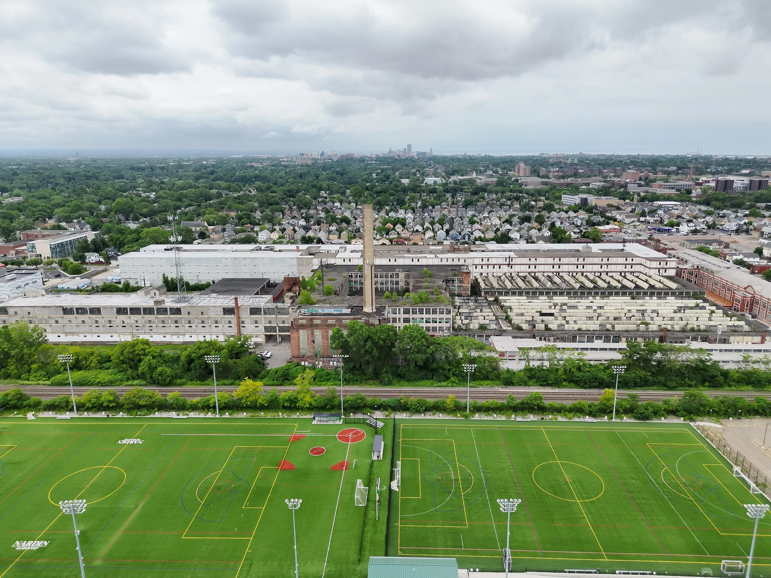
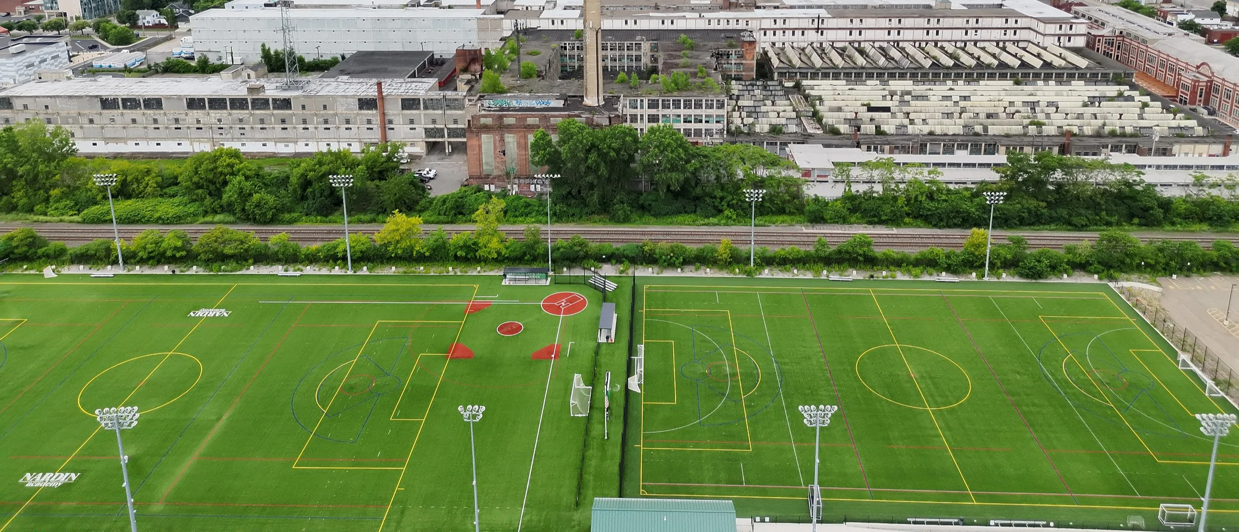
Yes — and drones are one of the best tools available for it. Many municipalities require licensed professionals to submit recurring inspection reports documenting the condition of building exteriors, particularly on older masonry structures. DronePoint captures high-resolution imagery of the full building envelope from positions that would otherwise require scaffolding or rope access, at a fraction of the cost and time. We work directly with architects, engineers, and building owners throughout this process. Our facade documentation workflows also integrate with AI-powered inspection platforms capable of automatically identifying and classifying defects — giving your engineer or architect a more thorough dataset to work from.
-
Drones eliminate the need to put people on rooftops in situations where access is dangerous, impractical, or simply not warranted. Common use cases include roofing contractors scoping a project before committing to a ladder or lift; building owners identifying thermal anomalies that indicate insulation failures or moisture intrusion; facility managers reading equipment model numbers without roof access; and insurance adjusters or property managers documenting current conditions. Our thermal-equipped drone can detect heat loss and moisture that would be invisible to a standard camera.
-
Yes — aerial LiDAR is one of our core specialties. Using our DJI M350 RTK with a Zenmuse L2 LiDAR payload, we capture dense, georeferenced point clouds suitable for a wide range of applications including topographic surveys, site mapping, civil engineering, and as-built documentation. Deliverables typically include point clouds, digital elevation models (DEMs), contour data, and orthomosaic maps depending on your project needs.
-
Our aerial LiDAR system paired with RTK/PPK GPS correction delivers accuracy in the range of 2–5cm horizontally and vertically under normal conditions. For projects requiring even greater precision, we use ground control points and post-processed kinematic (PPK) correction workflows. If you have specific accuracy requirements, tell us upfront and we’ll confirm whether our equipment and workflow can meet them.
-
Drone-based LiDAR and photogrammetry can produce survey-grade spatial accuracy for many project types — particularly large-area topographic mapping, as-built documentation, and volumetric calculations. However, legal boundary surveys require a licensed land surveyor and cannot be replaced by drone data alone. We frequently work alongside licensed surveyors, providing the aerial data they need to support their deliverables. If you’re not sure where the line is for your project, just ask.
Definitions
-
LiDAR stands for Light Detection and Ranging. Our LiDAR-equipped drone emits hundreds of thousands to millions of laser pulses per second, each capturing precise x, y, and z location data. The result is what’s called a point cloud — a highly accurate, fully measurable 3D model of the environment in digital form, often referred to as a digital twin. If a picture is worth a thousand words, a LiDAR point cloud is worth hundreds of millions.
-
Photogrammetry produces accurate measurements and 3D information from overlapping aerial photographs. By analyzing images taken from multiple positions, specialized software reconstructs spatial data including point clouds, digital surface models, ortho-mosaic maps, and textured 3D models. It’s widely used in surveying, mapping, construction monitoring, agriculture, and media production. Photogrammetry is typically faster and more cost-effective than LiDAR for large-area mapping where sub-centimeter accuracy isn’t required.
-
Topography mapping measures and represents the three-dimensional features and elevations of a land surface. From this data, we produce maps and datasets that show terrain shape — hills, valleys, slopes, flat areas — as well as man-made features like roads, buildings, and embankments. Deliverables include contour lines, spot elevations, digital elevation models (DEMs), and point clouds depending on your project’s requirements.
-
Construction progress monitoring is the systematic tracking and documentation of work completed on a construction project over time. Scheduled drone flights capture the site at defined intervals, creating a visual and spatial record that can be compared against the project plan, schedule, and budget. The goal is to spot deviations early, support decision-making, and give owners, developers, and project managers clear visibility into what’s actually happening on the ground.
Pricing & Process
-
Deliverables vary by service and project scope, but typically include some combination of georeferenced orthomosaic maps, point clouds (.LAS/.LAZ), digital elevation or surface models, 3D mesh models, high-resolution photos and video, and formatted reports. We’ll confirm exactly what you’re getting before the project kicks off — no surprises.
-
We quote every project based on its specific scope — the size of the site, the service required, the deliverables needed, and the timeline. No two projects are identical, so neither are our quotes. Reach out or give us a call and we can typically turn around a quote the same day.
-
We turn around most projects in less than a week from the date of the flight. Deliverable processing time depends on the service — orthomosaic maps and point clouds take longer to process than photo documentation. If you have a hard deadline, tell us upfront and we’ll build the schedule around it.