
Official announcements, industry insights, and real world drone applications.
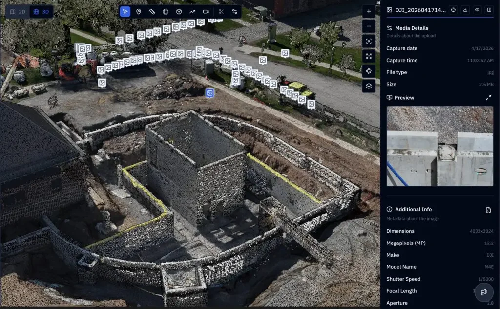
Point Cloud Sharing
Reality capture has traditionally been too expensive and complex for many small firms to adopt directly, but that is beginning to change. In this Q&A, Nick Seres explains that one of the remaining challenges is what he describes as the “last mile” of reality capture: delivering complex datasets in a format that customers can actually use.
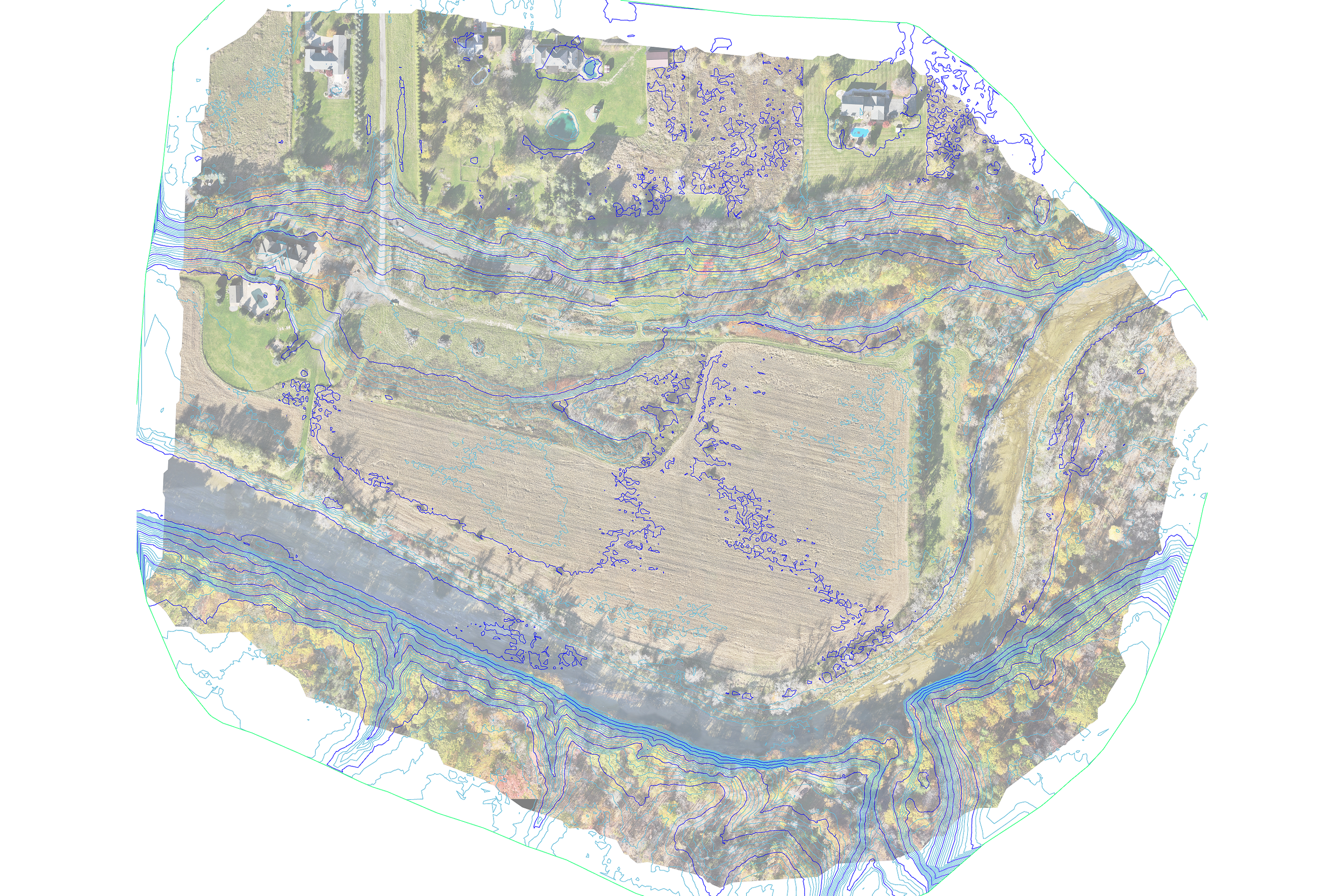
Floodplain Mapping
When a contractor needed floodplain verification for three new homes, an active wheat field and tight deadlines made traditional surveying impractical. DronePoint deployed UAV LiDAR across 40 acres, delivering DWG topographic drawings with floodplain overlays that cleared municipal review — faster and at lower cost than ground-based methods.
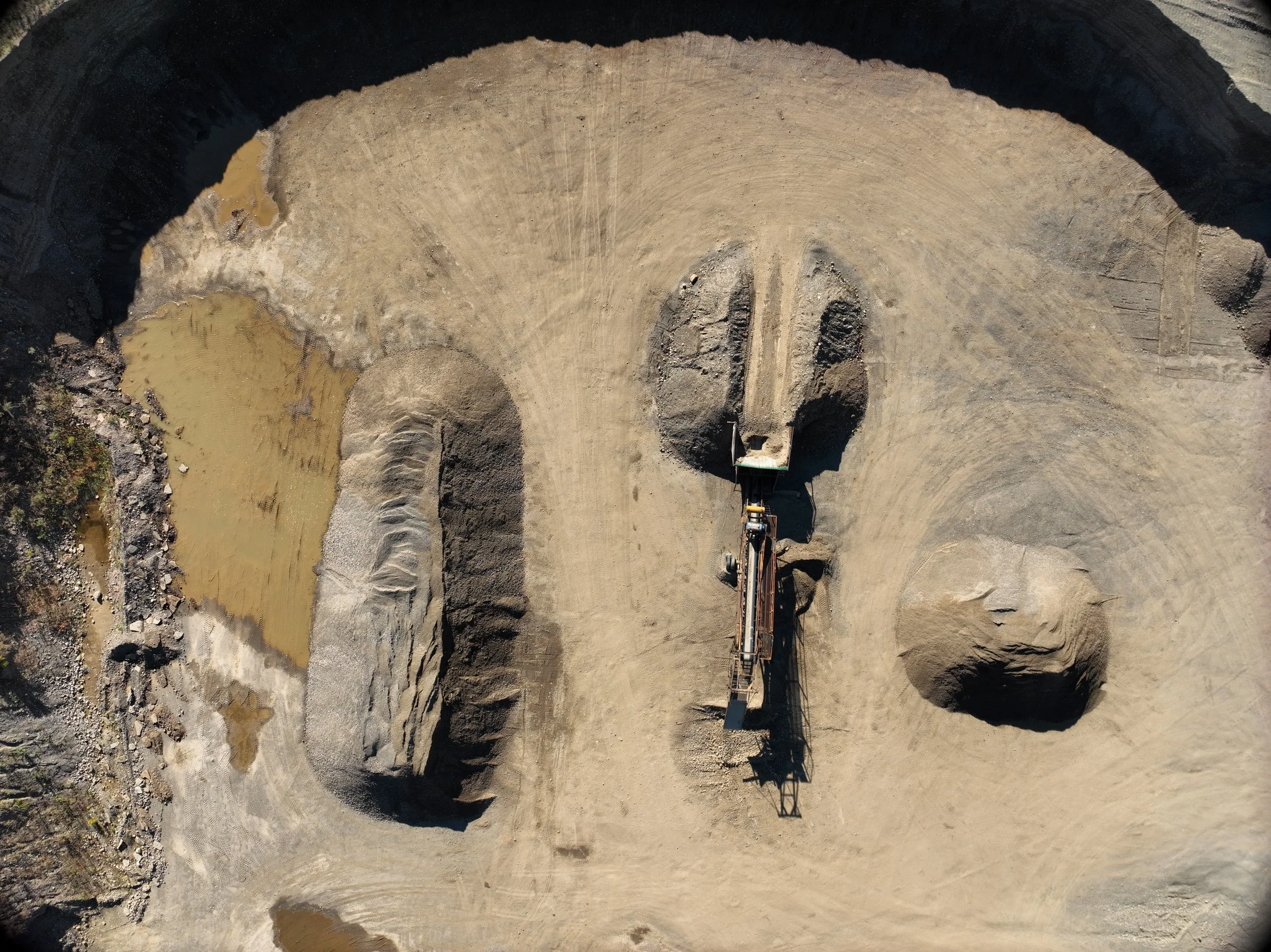
UAV LiDAR Topography for Active Gravel Mine Permit Renewal
During a mine permit renewal application process, MDA Consulting Engineers required accurate topographical data for an approximately 70-acre active gravel mine. The site was operational, time-sensitive, and presented safety and access challenges that made traditional ground-based surveying inefficient and risky. The goal was to collect high-quality topographic data quickly so the permit application could be completed on schedule.
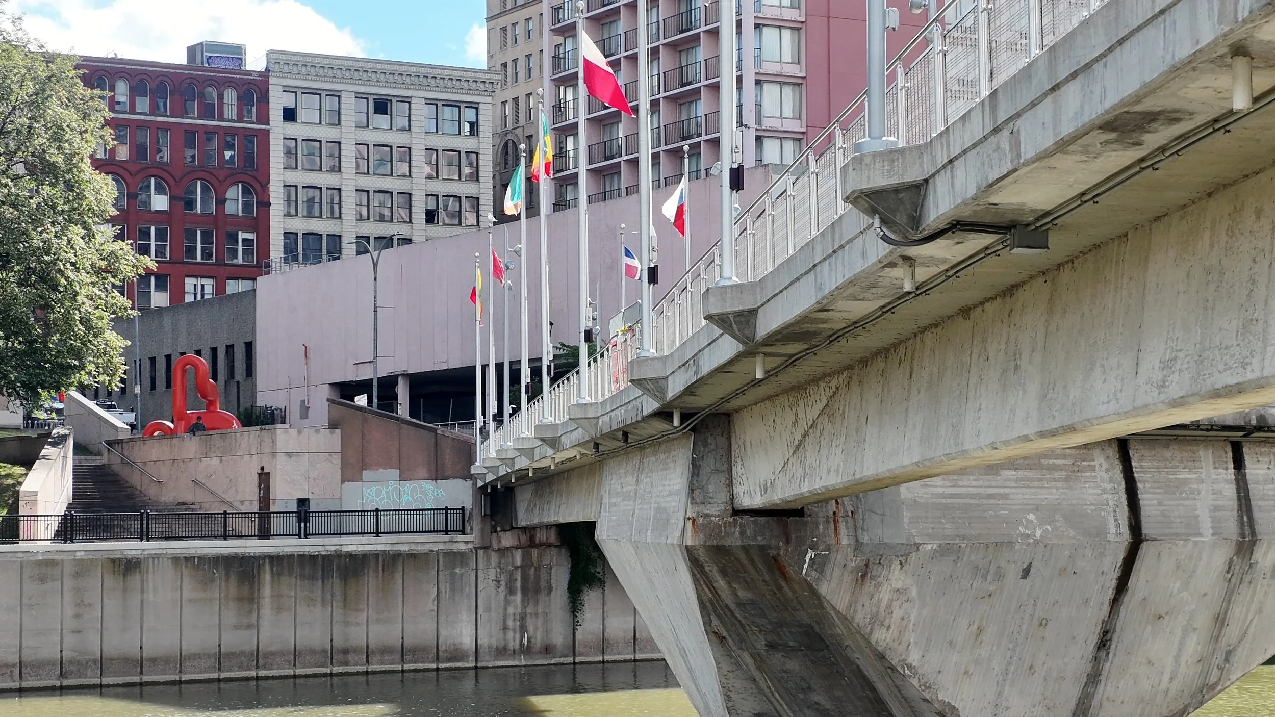
Drone-Based Pedestrian Bridge Inspections in Rochester, NY
Routine bridge inspections are typically performed using under-bridge inspection units (UBIUs), scaffolding, rope access, or boat-based methods. In this case, none of those options were feasible or cost-effective.